Why it Matters
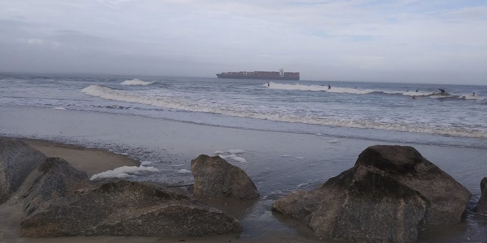
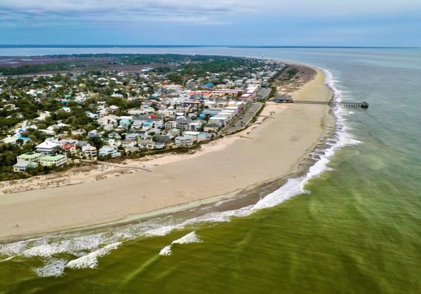
Tybee Island's is bordered to the north by the Savannah River and the shipping channel, which is maintained by the U.S. Army Corps of Engineers (USACE) as entry to the Port of Savannah—one of the busiest ports in the country. This channel blocks much of the sediment that would naturally flow south to nourish Tybee Island’s ocean-facing shoreline. Without this supply of sand, Tybee Island's beaches and dunes suffer from increased erosion, impacting public recreation, storm protection and wildlife habitat. As a result, the USACE has funded regular beach nourishments since 1975 under an authorization that is due to expire in 2024.

The Threat
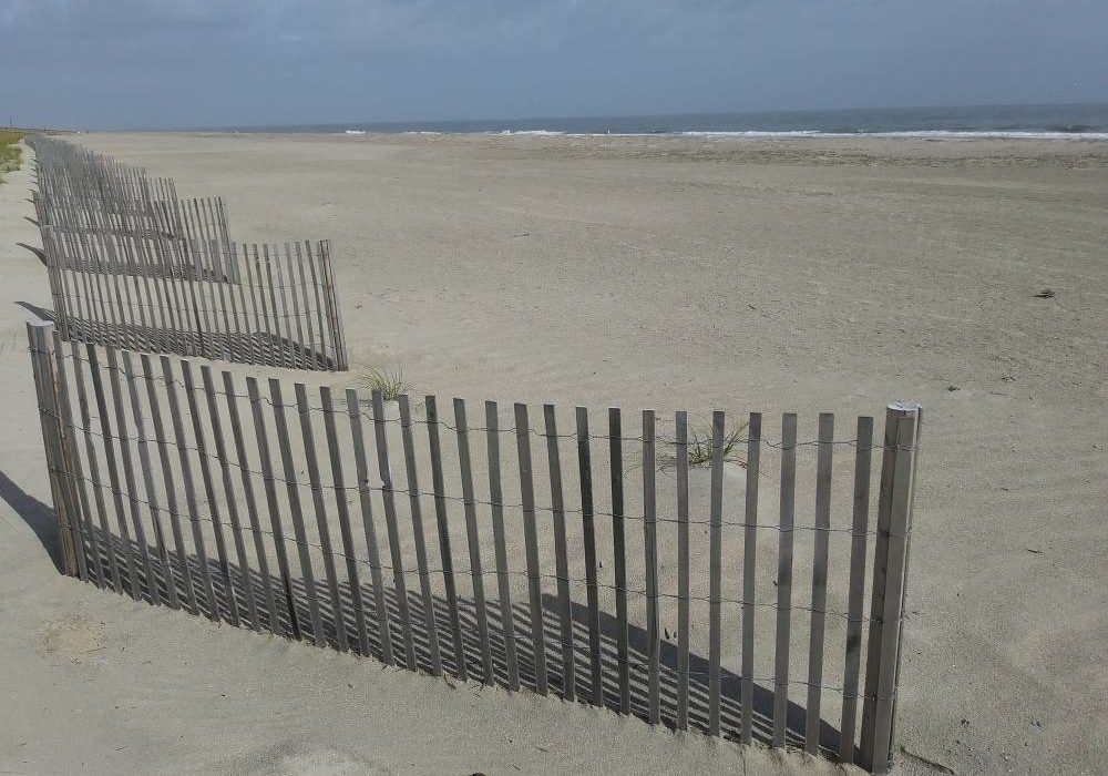
A beach’s size, shape, and sand volume help determine how well the beach can protect a developed area during a storm. Beaches are capable of reducing impacts from coastal storms by acting like a buffer along the coastal edge and absorbing and dissipating the energy of breaking waves, either seaward or on the beach itself. Dunes serve as a barrier between the waters’ edge and inland areas, taking the brunt of larger storm surges. Tybee Island’s beach naturally erodes over time with the longshore current taking sand southward. Hurricanes Matthew 2016 and Irma 2017 caused significant erosion of the beach and destroyed some of the natural dune system, causing flooding inland along the island’s commercial district and several neighborhoods. Since then, severe hurricanes and tropical storms, along with the increase in sea level rise as measured at the Fort Pulaski tide gauge just a mile off Tybee’s coast, has focused Tybee on building its coastal resilience.
What Tybee Island is Doing
The latest and last beach nourishment under the existing Federal Authorization was completed in January 2020. It was part of Tybee Island’s overall coastal resilience plan—a plan that began to take formal shape with the publication of the Tybee Island Sea Level Rise Adaptation Study in April 2016 and was further informed by the City’s Master Plan of September 2016.
Although Tybee Island had begun implementing its plan in the fall of 2017 and completed its first ever dune construction with City funds in April of 2018, a State of Georgia grant in July 2018 provided the funding necessary to fully implement the City’s coastal resilience improvement plan, including dune construction, dune stabilization for vehicle access, dune vegetation and a full beach nourishment. After spending three years and nearly $18 million nourishing its fragile coastal environment, Tybee Island was honored to be among the select few winners of the 2020 Best Restored Beach award. Judging was based on economic and ecological benefits the beach brings to its community, the success of the restoration project and the challenges the community overcame during the course of the project.


