
This project monitors water levels in real-time around Tybee Island and Chatham County using a network of sensors.
Project Lead: Dr. Russ Clark, Georgia Institute of Technology, russ.clark@gatech.edu
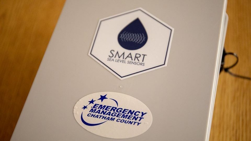
Partners: Georgia Institute of Technology, The City of Savannah, Chatham Emergency Management Agency
Funding: The Georgia Smart Communities Challenge ($50K), Georgia DNR/CRG ($80K), SECOORA ($1M), NOAA ($5M)
Project Summary: The Smart Sea Level Sensors Project is deploying a network of more than 50 internet-enabled water level sensors across flood-vulnerable Chatham County, via a working partnership between officials from the Chatham Emergency Management Agency (CEMA) and the City of Savannah, together with a diverse team of scientists and engineers from Georgia Tech. The data collected is being used to inform flood risk and vulnerability. This framework enables the assessment of short-and long-term coastal flooding risk and vulnerability that are required to inform planning for flood mitigation strategies. There are two sensors on Tybee Island, measuring water levels in real-time: one at the University of Georgia Burton 4-H Center on Lewis Avenue and one on Highway 80 at Chimney Creek. Other nearby locations include Catalina Drive, Lazaretto Creek fishing pier, and Fort Pulaski.
Goals: The main goal of the project is to provide real-time information about water levels across Chatham County to aid in emergency planning and response during episodes of flooding associated with storms, king tides, and other environmental events. The sea level data also provide a unique and important dataset to aid scientists, engineers, and regional planners in quantifying the short- and long-term risks associated with continued sea level rise.