
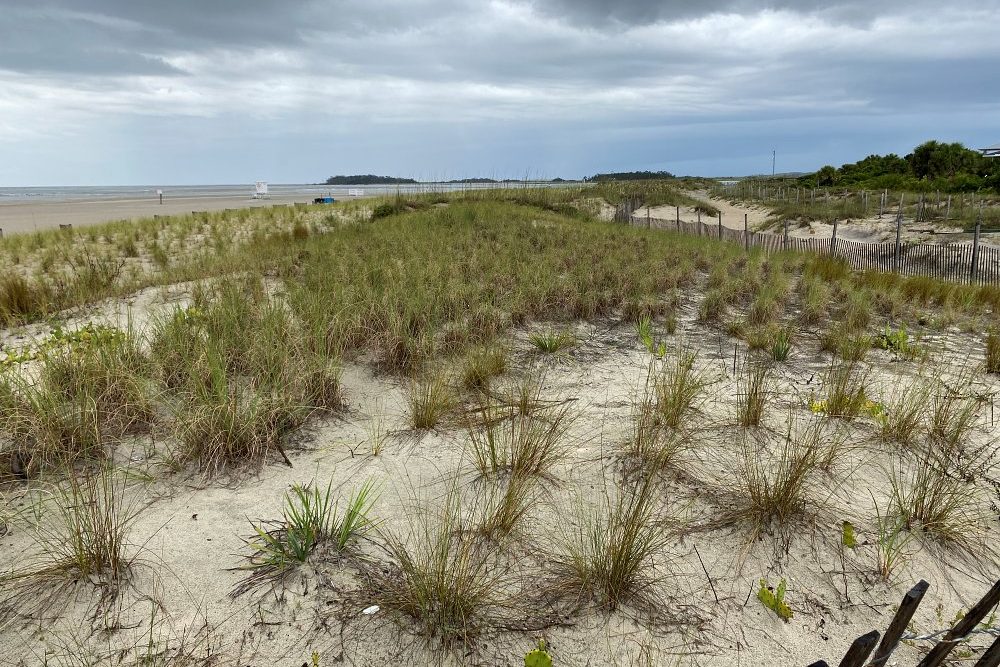
This project aims to monitor man-made dunes and beach on Tybee Island using unmanned aerial systems.
Project Lead: Clark Alexander, UGA Skidaway Institute of Oceanography, clark.alexander@skio.uga.edu
Partners: City of Tybee, Tybee Beach Task force, Tybee citizen scientists, UGA Skidaway Institute summer interns and SSU REU Bridge participants, UGA Ocean Science majors in the Semester@Skidaway domestic study away program.
Funding: City of Tybee and Georgia Department of Community Affairs
Project Summary: This proposal is monitoring the new dunes and beach on Tybee Island constructed in 2020 and developing a work plan and monitoring framework that will be developed into a best-practices guidance document that can be used by the City of Tybee or other municipalities to monitor future dune and beach creation and enhancement projects.
Many man-made dune projects have been built to specific engineering design standards to address needs in specific locations, but typically lack detailed plans to monitor the performance and change of these features with time. Further, any monitoring that was conducted typically involved a tradeoff between data coverage and the cost/labor/time involved in collecting the data. Typically, this resulted in a low-density sampling at infrequent intervals, inadequate to monitor detailed change in response to environmental conditions.
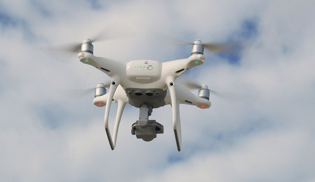
Recently, the wide availability and ease of use of unmanned aerial systems (UAS; i.e., drones) has provided a comprehensive, rapid, efficient way to collect data for man-made dune and beach systems, at a frequency that is responsive to seasonal changes of the shore. Although dune creation has been planned for coastal Georgia, best practices for monitoring these construction projects have yet to be documented. In addition to this geomorphic monitoring effort, the City of Tybee Island has received funding through a coastal incentive grant from the Georgia Department of Natural Resources to work with Georgia Southern University in monitoring the success of vegetative plantings on these new dunes.
Goals:
- Use drones and aerial photogrammetry to monitor man-made dunes to determine how effectively the dunes stand up to the forces of nature.
- Develop a “best practices” manual that can be used by other coastal communities that seek to monitor their man-made dunes and beaches.