Marsh
Why it Matters
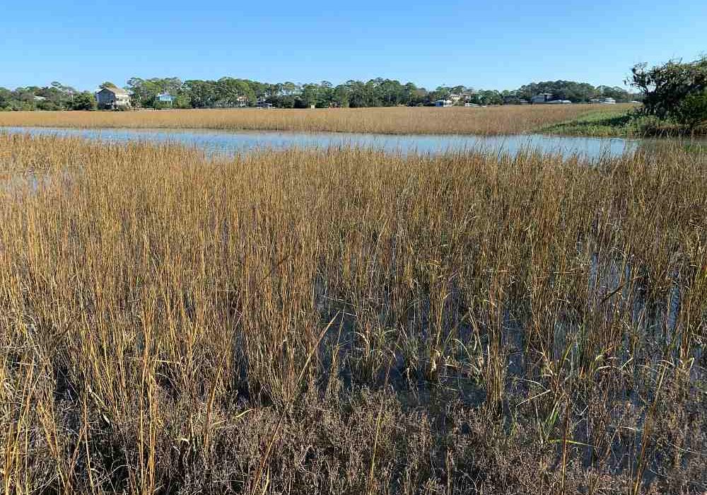
Georgia has 105 miles of sandy beaches and 368,000 acres of salt marsh. Not only is this marsh an iconic Georgia landscape, but it is also vital to wildlife, tourism, and the Georgia fishing industry. Often, marshland is adjacent to valuable real estate with spectacular views seen as a selling point for prospective homeowners. The marshes also capture carbon dioxide from the atmosphere and protect coastal Georgia during storms, as they serve as a buffer between communities and the sea. They slow down water that might otherwise flood into dry areas and can also absorb waves. Today, however, the marshes cannot keep pace with sea level rise in Georgia.
The Threat
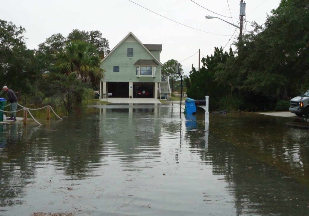
Flooding resulting from the rising sea level affects Tybee Island's marshes, creating problems for residents, wildlife, and the marsh itself. As water levels rise, marshes can build up sediment and plant matter to increase their elevation and move into low-lying areas. This phenomenon is known as marsh migration, and it occurs naturally within ecosystems but can be accelerated as a response to sea level rise. However, sea level rise has led to an increase in flooding incidents, and since most of the properties adjacent to the marsh are privately owned, homeowners have reacted by building hard structures like bulkheads. These structures can impede natural marshland migration, cause additional erosion on adjacent properties, and block off migratory routes for important aquatic species. When marsh plants cannot migrate due to barriers associated with the infrastructure from developments such as bulkheads, buildings, or roads, they can become wedged between hard structures and encroaching seawater. This process is known as “coastal squeeze.” Tybee Island can avoid this "coastal squeeze" by conserving open space and establishing pathways for marsh migration.

What Tybee Island is Doing
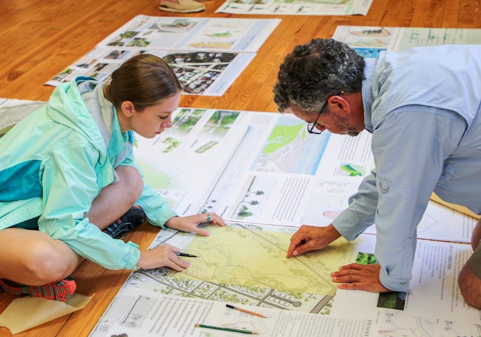
In recent years, Tybee Island has explored nature-based solutions to erosion and flooding along its marshes. One such solution is called a living shoreline. Living shorelines stabilize the shoreline with natural materials, reduce erosion, and provide valuable habitat for birds, aquatic life, and other wildlife. Unlike bulkheads and other hard infrastructure, living shorelines grow over time. They also perform better against storms, are more cost effective, and offer social benefits as well. Benefits include improving water quality and enhancing recreational and commercial fishing. Tybee Island has a living shoreline installed at the University of Georgia Burton 4-H Center on Horse Pen Creek. This living shoreline uses native plants and oyster shells to protect the property and provide marsh habitat. Moving forward, Tybee Island is looking to identify more options for flood and marsh protection. In 2020, Tybee Island received a National Fish and Wildlife Foundation (NFWF) Coastal Resilience grant. The $300,000 project builds off the Tybee Island Sea Level Rise Adaptation Plan to address flooding on the marsh side of the island. The project is identifying adaptation options to enhance flood protection and improve habitat function. This is vital in ensuring that Tybee’s marsh is protected in the future to prevent, rather than respond to, flooding on the island.

Tybee Island Natural Infrastructure Plan
- « Previous
- 1
- 2
- 3
- 4
- Next »


